

Accession number
MS M.507
Object title
Portolan atlas (MS M.507).
Created
Venice, Italy, 1542.
Binding
Venetian, 16th-century maroon morocco gilt over boards with border ornament of running animals.
Credit line
Purchased by J. Pierpont Morgan (1837-1913) in 1912.
Description
16 leaves, bound : vellum, ill. ; 220 x 160 mm
Provenance
An early owner wrote the monogram of Christ (IHS) in rubrics on the upper center of fol. 1; an early inscription in brown ink scribbled on the upper inside front cover; purchased by J. Pierpont Morgan (1837-1913) from Leo S. Olschki in 1912; J.P. Morgan (1867-1943).
Notes
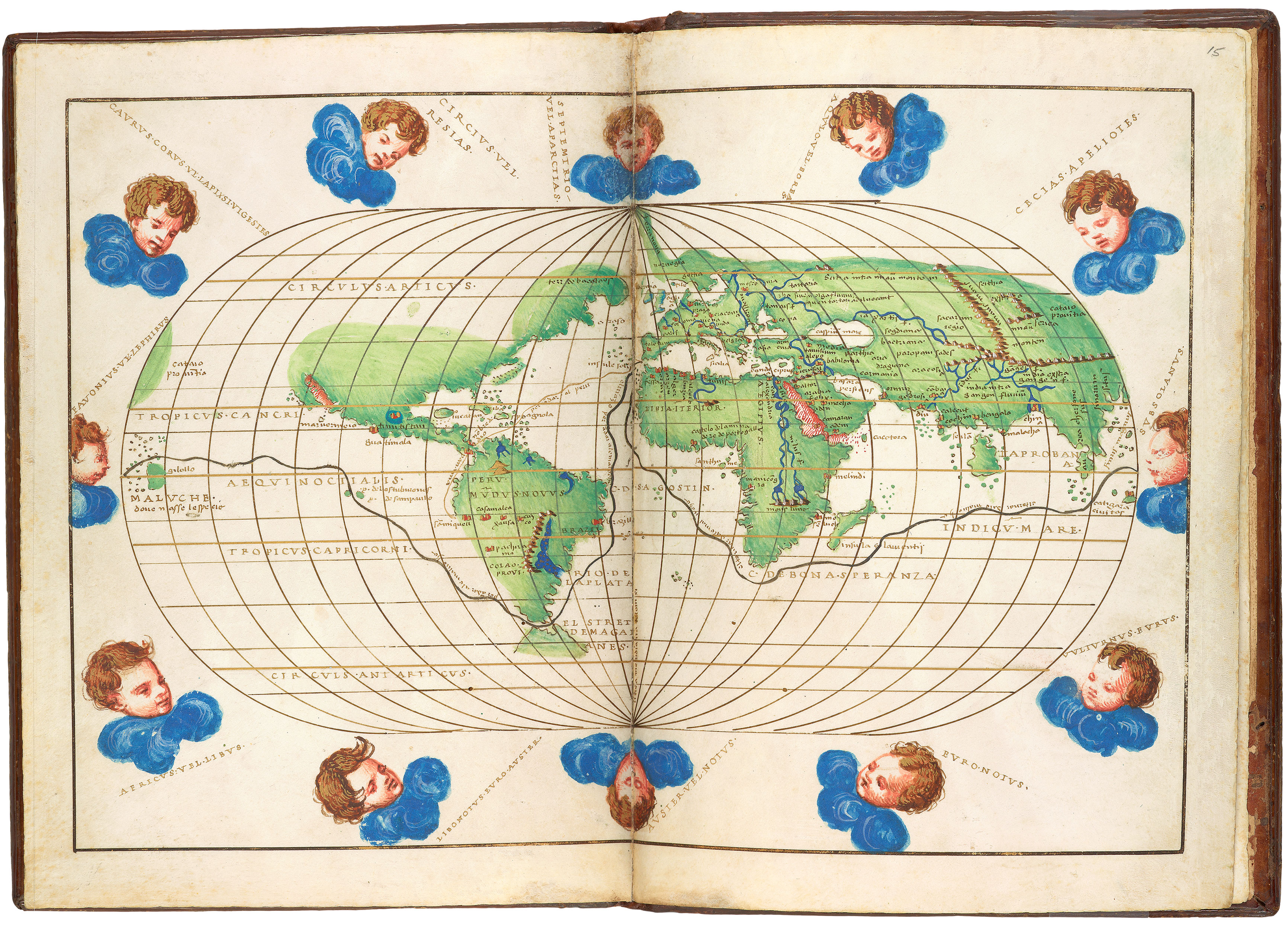
Ms. atlas; written and illuminated in Venice, Italy, in 1542.
Scribe and artist: Battista Agnese; signed and dated on fol. 13v: baptista agnese fecit venetijs 1542 die 15 mai; the windrose is not believed to be by Agnese.
Decoration: 1 illuminated windrose, 1 illuminated zodiacal circle; 1 full-colored world map with 12 blowing wind heads; 9 other maps with details in colors and wash gold.
Script
Roman letters and a cursive script
Language
Italian (Venetian dialect) and Dutch
Resources
Catalog link
Department
Display Date
1542.