
Accession number
PML 19921
Creator
Rüst, Hanns, active 1472-1497.
Object title
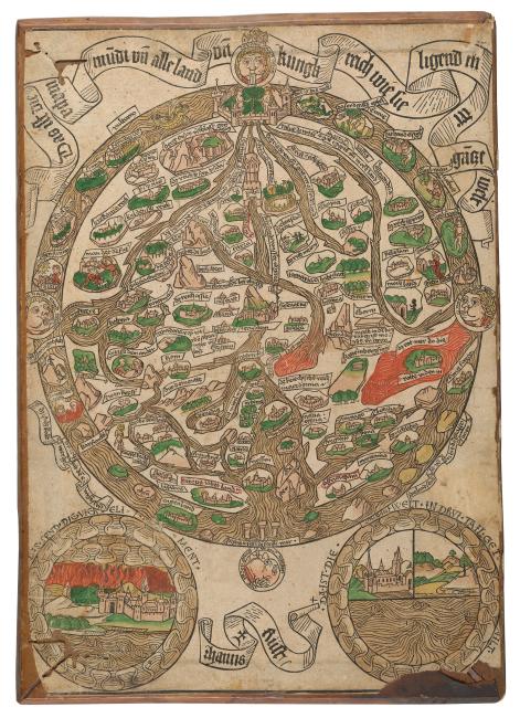
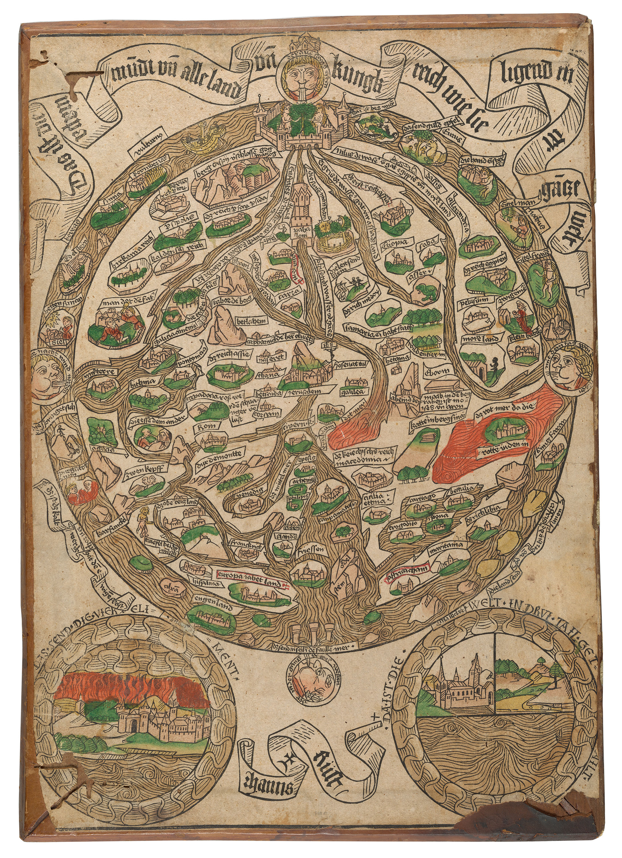
Das ist die mapa mu[n]di un[d] alle land un[d] kungk reich wie sie ligend in der ga[n]sze welt.
Published
[Augsburg] : Hanns Rüst, [approximately 1480?]
Description
1 sheet : illustration (woodcuts), map ; 42 cm (broadside)
Credit line
Purchased by Pierpont Morgan, 1912.
Notes
Title in banderole at top of print.
Single woodcut leaf; signed, Hans Rüst and with his mark of a cross surmounted by a crescent; probably cut by him (from an unidentified design) in Augsburg, Germany in the last quarter of the 15th century (ca. 1475-1482). Sometimes cited as Hans Riist.
Sheet dimensions: 40 x 28.2 cm, trimmed, with slight losses to the left and right sides.
Printed on 1 sheet of chancery paper.
See Hassinger, R. Deutsche Weltkarten-Inkunabeln, 1927, who considers the St. Gall and Würzburg maps, by Hanns Preifmaler = Hanns Sporer to be slightly later copies of this (Morgan-Hans Rüst) map. Rüst was a cartographer and woodcutter who worked at Augsburg in 1472-1497. A single woodcut leaf "The Death" by him is in the Print collection at Munich. For bibliography see note laid in with map.
A slightly later, nearly identical map was produced by Hanns Priefmaler (i.e. Hans Sporer), at the National Gallery of Art, 1943.3 645, similarly previously glued inside the front cover of a book.
When purchased this map was pasted on the inner front cover of Strabo, Geography (Venice: Vindelin de Spira, 1472), PML 19291/ChL 730; this cover, containing the map, has since been removed from the volume and catalogued separately.
Binding
Not bound. Sheet pasted on the inner front cover of Strabo, Geography (Venice: Vindelin de Spira, 1472), PML 19291/ChL 730. The wooden board (42 x 29.5 cm) is covered in 15th/16th century German blind-filetted brown calf, with manuscript title label for the Strabo.
Variant title
Das ist die mapa mundi und alle land und kungkreich wie sie ligend in der gansze welt
Inscriptions/Markings
Woodcut hand colored.
Provenance
(From PML 19291, which the Mappa mundi was previously pasted-in:) Anton von Annenberg (1420-about 1480/84), inscription: ".Anthonius. Annenberger. Strabo de situ orbis" and shelfmark: ".111. D. V." (with decorative ball appendages to letterforms) (leaf [1]/1r), Univ. of Glasgow, Sp Coll BD9-a.1 (Tortellus, Orthographia, 1471), with same rubrication and provenance; Dr. Franz von Wieser (1848-1923), of Innsbruck; Pierpont Morgan (1837-1913), purchased from Ludwig Rosenthal's Antiquariat, May 1912.
Classification
Catalog link
Century
Department