

Accession number
PML 129921
Creator
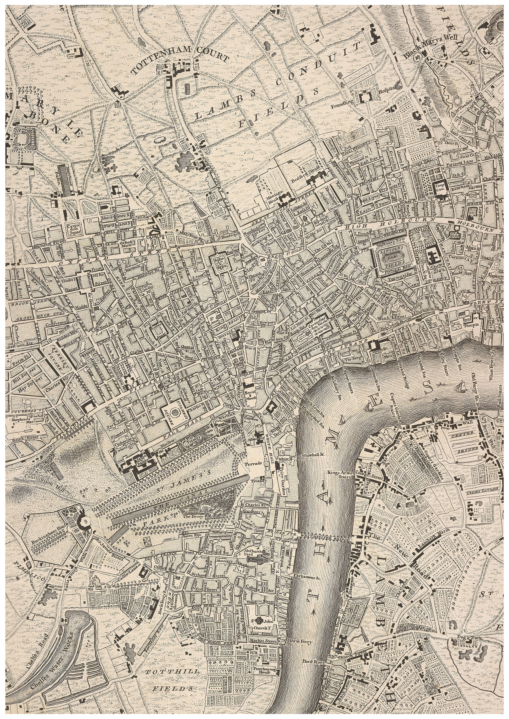
Rocque, John, d. 1762.
Published
London : Sold by the proprietor John Rocque ... printed by W. Edwards, 1748.
Credit line
Purchase: Henry S. Morgan Fund, 2007.
Notes
Titlepage in red and black, in English, Latin and French.
Engraved by Richard Parr.
Includes A map of London and the adjacent counties 10 miles round ... reduc'd into one sheet.
Engraved by Richard Parr.
Includes A map of London and the adjacent counties 10 miles round ... reduc'd into one sheet.
Description
1 atlas ([2], [34] leaves) : maps ; 56cm. (Fol.)
Binding
Marbled wrappers. In red half-morocco box.
Classification
Catalog link
Department